The Ultimate Mother's Day Gift Guide
If you haven't already, it’s time to start thinking about what special gift you’d like to give your mom. This special day is a celebration of our moms- to show our love, respect, and honor, and of...
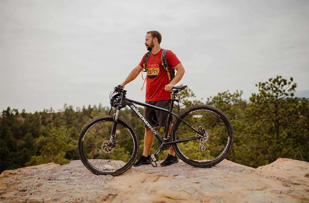
Colorado may be known for its ski resorts and snowy peaks, but the summer months have even more to offer! Colorado is beautiful and has a lot of cycling trails to check out depending on your skill level. Whether you’re an expert mountain biker or just a casual biker, there’s no better place to enjoy an amazing ride than in Colorado.
Last Year, we challenged our community to complete the Akinz Challenge that includes some of our other recommended mountain bike and road trails. Colorado has some of the best bike trails in the country, and we’ve compiled a list of some of the best and most popular trails around the state in preparation for Colorado Bike month. We recommend you check weather conditions and with local agencies so you can plan your route accordingly.
Trail Ridge Road
We start off in the Rocky Mountain National Park on the Trail Ridge Road. This trail covers 48 miles between Estes park and the Grand Lake, however, cyclists don’t have to do the whole trail as sections are segmented off into shorter rides. This trail is the highest-elevated, continuously paved road in the United States. Be wary of cars driving past and wildlife you may encounter, like elk and moose.

6th Avenue Trail
After the Trail Ridge Road, head over to Golden, Colorado and check out the 6th avenue trail. This is a moderately difficult ride and is only 3.5 miles long. The trail is completely concrete and dogs are allowed on leashes. This is a popular trail; be on the lookout for hikers, joggers, and bicyclists passing by. Keep an eye out for wildlife you may see, such as rabbits, hares, foxes, mule deer, or coyotes. Check out the shops, restaurants, cafes, and galleries in downtown Golden. They are one of a kind and showcase the town’s history and fun personality.

Colorado Trail
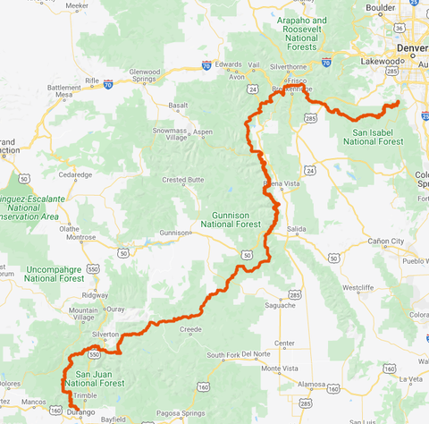
A 3 hour drive south will take you to the Colorado Trail in the Waterton Canyon. This is arguably the most iconic trail in Colorado due to the epic views and difficult terrain. It is over 486 miles and runs through six national forests and five water systems. The trail is broken down into smaller segments and riders can choose where they start and stop. The most popular segment is the end of the trail, is only 6.8 miles and ends in the Strontia Springs Dam. Littleton, Colorado is just up the road and hosts private tours of the foothills of Denver and the beautiful Red Rocks.
Doctor Park Trail
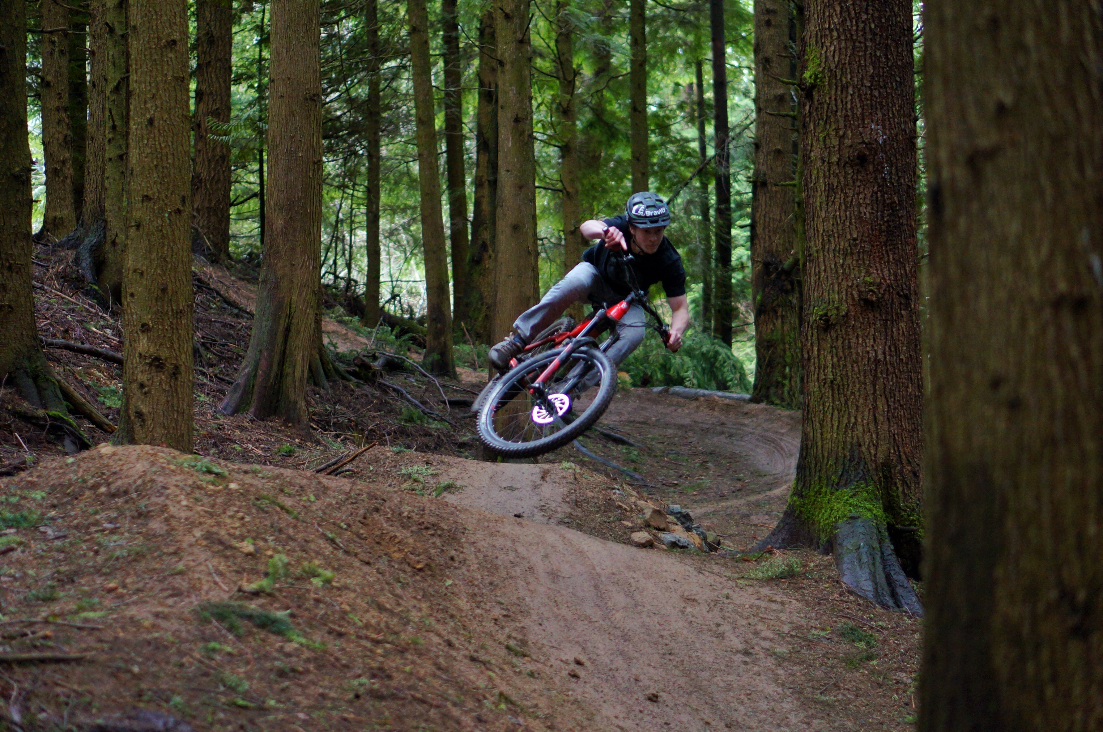
The next stop will be in Crested Butte at the Doctor Park trail. This dark forest trail is known for its treacherous terrain and rocky drops. The difficulty and steepness of the ride is worth the view at the top of the trail which opens to a beautiful meadow. The whole ride is 19 miles and passes by the Taylor River to signal the end of your ride. Take advantage of the fresh air and free events in Crested Butte. Rafting tours are also very popular in this area.

Lunch Loop
Lunch Loop in Grand Junction is a very social trail and is great for cyclists looking to expand their networks. Be careful of hard turns on this dirt trail. The whole ride is about 12 miles and takes about 2 hours to finish. It’s mostly downhill, so be especially wary of any rough patches after rain storms. While in town, be sure to check out downtown Grand Junction. If you are looking for something else to do in Grand Junction, horseback riding is also really popular. Travelers can take advantage of fresh produce with the many fruit stands along the road or by visiting the many orchards in the area.

Government Trail
One of our final recommendations would be the Government Trail in Aspen. This is a moderately difficult gravel trail and is about 19 miles long. It takes riders an average of 2 to 4 hours to finish depending on skill level. The scenery alone is worth the ride! Dogs are allowed on this trail, so feel free to bring your furry friends. Plan extra time in Aspen for the hot springs and geysers. The area is also a popular shopping destination for tourists so be sure to check out the great pop up shops.

Enjoy the scenery, the wildlife, and a variety of trails to challenge your biking skills. You will get so caught up on the trail itself that you’ll forget about the distance or worse terrains awaiting you at the end of your ride. However, Colorado is also tackling an issue that boomed in previous decades, but faces an alarming new threat: climate change.
“Colorado is very much at the forefront of climate action with its emphasis on reducing carbon emissions and becoming more sustainable,” Katie Clapp, public lands program director for the League of American Bicyclists, said. “As a state that has a long history of sports tourism, it’s natural that people would want to recreate at lower cost in a more natural setting.”
So, if you’re thinking about riding through Colorado, now is the time. The state has invested tons of resources and time into making cycling a more realistic and long-term form of transportation.
For more biking tips and apparel, be sure to sign up for our newsletter to get the latest updates!
0 comments